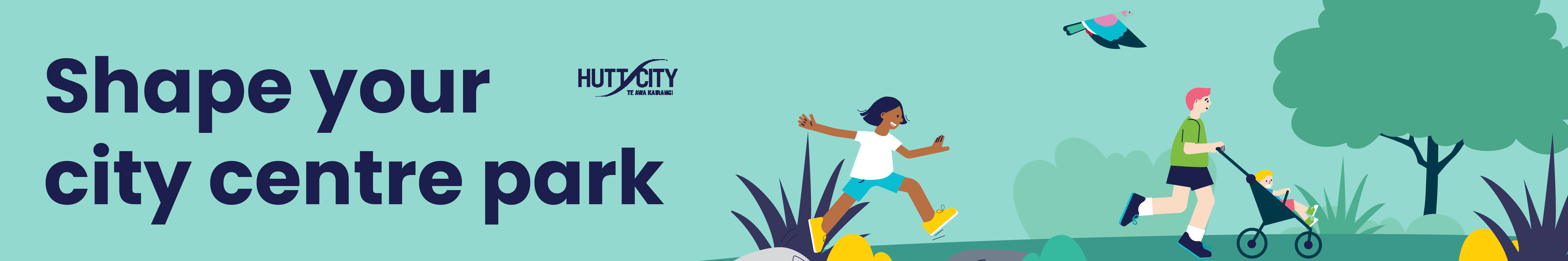
Find out how we're revitalising the heart of Te Awa Kairangi ki Tai Lower Hutt.
Investment is happening in our city centre to deliver crucial flood protection, enhance transport options, and bring new life to the city centre.
This investment means there are some big changes coming to our city centre streets, and how we connect with our awa (river).
We have the opportunity to make our city centre safer, easier to navigate and more enjoyable for everyone who works, shops or lives here.
In July 2025 our new City Centre Framework was adopted, which sets the strategic direction for the future of the Lower Hutt city centre. Shaped by valuable input from Mana Whenua, local businesses and the wider community, it aligns with wider initiatives to create a dynamic, people-focused and economically resilient city centre.
What's happening now?
In August and September 2025, we engaged businesses and the community on priorities for street improvements in the city centre.
We’ve used this feedback to create early concept plans showing what the priority streets in our city centre, and the new Riverside Park, could look like.
In April and May 2026, we did further engagement to check that our designs are going in the right direction, ask whether we’ve missed anything, and gather any extra feedback before we start on the detailed design.
This feedback will now be analysed and plans revisited to understand what changes we may need to consider. We’ll share back the refined concept plans once ready.
Proposed plans for both our city centre street upgrades and the Riverside Park and Car Park will then go to Council for approval later in 2026, before detailed designs are produced.
We’ll continue to share updates as these projects progress.

What is the City Centre Framework
The City Centre Framework captures the current ambitions of Council, Mana Whenua, businesses and the community:
- responds to the latest designs for Te Wai Takamori o Te Awa Kairangi (formerly RiverLink) works within the city centre
- sets out the vision, values, outcomes, key moves and initiatives that will inform Council decision-making and guide private sector development
- looks ahead 15 years to 2040 and imagines a thriving city centre
- paves the way for streetscape improvements and other activities to create a vibrant, people-focused and economically resilient city centre.
What else is happening?
Te Wai Takamori o Te Awa Kairangi (formerly RiverLink), will deliver crucial flood protection and river restoration work, improvements to public transport, walking and cycling routes, local roads and the SH2 Melling Interchange for the local community. It will also help revitalise Lower Hutt’s city centre. Find out more at teawakairangi.co.nz.
More information
- City Centre Framework | Te Pokapū o Te Awa Kairangi ki Tai 2025 (PDF 11.1MB)
- Shape the heart of your city (engagement)
- Te Wai Takamori o Te Awa Kairangi – for updates on the programme from all partners.
- Central City Transformation Plan 2019 (PDF 38.7 MB)
- CBD Making Places - Project concept summary (PDF 107 KB)
- CBD 2030 vision (PDF 2 MB)