
Published: 21 December 2023
With warmer weather walking through the door, spending time outdoors starts to become more inviting. We’re lucky that Te Awa Kairangi ki Tai Lower Hutt has plenty of hills and native bush to explore and enjoy the sunshine!
Check out our list of walking tracks below and be ready to tick each one off this summer.
Hutt River Trail
The Hutt River Trail is a combined effort between Hutt City Council, Greater Wellington Regional Council, Upper Hutt City Council and Hutt Valley Rotary Clubs. Mostly flat, the Hutt River Trail currently runs from Hikoikoi Reserve (at the Hutt River Mouth) to Birchville in Upper Hutt. It’s entirely located on the Hutt River berm, along the tops of the stopbanks. In Lower Hutt the trail is continuous on both sides of the river.
The Hutt River Trail offers different surfaces to walk or ride on, including gravel paths and sealed surfaces. Using the different bridges along the trails there are a number of loops that can be used for walking, running and mountain biking. You can access the trail anywhere along the Hutt River between the Hutt River Mouth and the Silverstream Bridge. Dogs are allowed but on-lead only.
Waterfall Track
This track takes walkers on a waterfall-bound journey up a small creek through regenerating bush. Along the way you’ll cross the creek several times and wind your way past a forest full of birds, trees, berries and other wildlife.
The walk is suitable for children from five years of age, although in some places they’ll need close supervision. You can access the Waterfall Track from either the Percy Scenic Reserve main car park, Dowse Drive or off Stanhope Grove. The track is 20 minutes return. Dogs are allowed on-lead only, however, dogs are not allowed in Percy Scenic Reserve.

Rātā Street Loop
Located in Naenae, Rātā Street Loop can be started at either end - beside 239 Rātā Street or at the very end of the street. It is a rough tramping style track that contains multiple river crossings, native forest and wildlife, as well as amazing views of the Hutt Valley. This track is a great place to introduce families to tramping. Being a rough tramping style track, it’s short enough to manage with children (although younger children may need assistance). It can be easy to lose your way in the bush so take care to follow the arrows. The entire loop should take between an hour and an hour and a half. Dogs are allowed but on-lead only.
Korokoro Dam Loop
Managed by Greater Wellington, this track takes you to the historic Korokoro Dam, through regenerating and mature native bush. Start the track at the Oakleigh Street entrance to the park, at the track nearest the information kiosk. The loop takes one hour to complete. Dogs are allowed but on-lead only.
Horoeka Street Scenic Reserve
Starting at 17 Horoeka Street, there are three different loops to try – Horoeka Loop (1.2km), Kingsley Loop (7.8km) and Tawhai Loop (6.6km). The lower loops follow a hand-dug 100-year old Bridle trail through an ecologically significant area. As well as beautiful nature to enjoy, Horoeka Loop contains fairy houses/hotels to admire as you make your way through the track. Dogs are allowed but on-lead only.
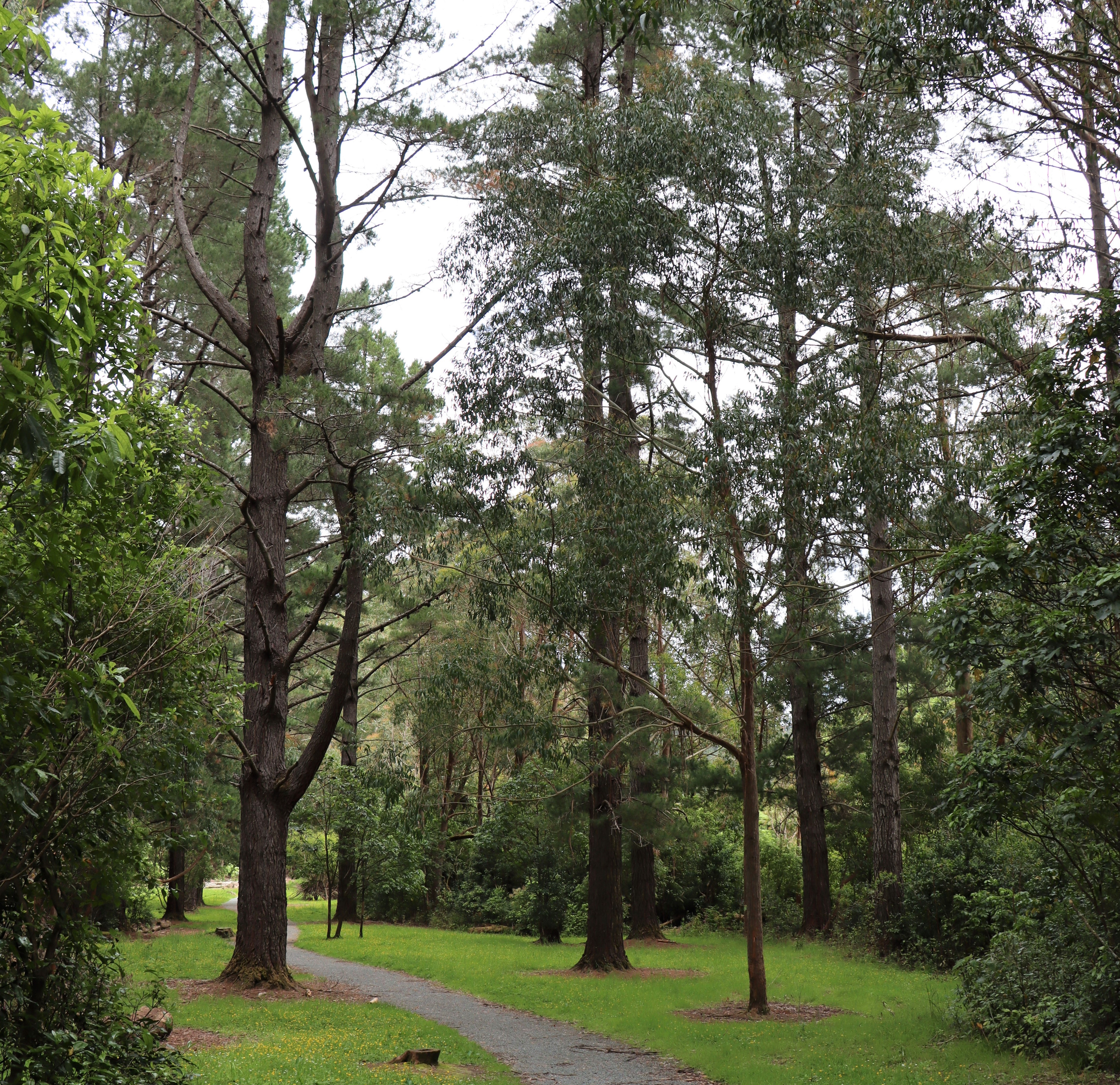
Gums Loop
Located in Wainuiomata Regional Park (managed by Greater Wellington), Gums Loop is a beautiful walking track that takes you over a swingbridge, through stunning bush with native and gum trees. It is 2.7km long and takes about 40 minutes to complete. There are also plenty of other tracks located in the Wainuiomata Regional Park for you to enjoy. Dogs are allowed on-lead only, however, no dogs allowed on the Lower Dam Walk past the Gums Loop swingbridge junction.