Our two Community Connections projects in Avalon and Taitā will connect residents and schools with the heart of their communities, providing safer and more accessible transport options that are good for us and our environment and improving the experience for people using our footpaths, by foot, bike or scooter.
What we’re doing
We’re improving the accessibility and experience for people who move around Tāita by foot, bike or scooter, connecting residents and tamariki with recreational and community facilities, their local shops and businesses, schools and the arterial travel corridors alongside the rail and river trails.
The work in Taitā includes:
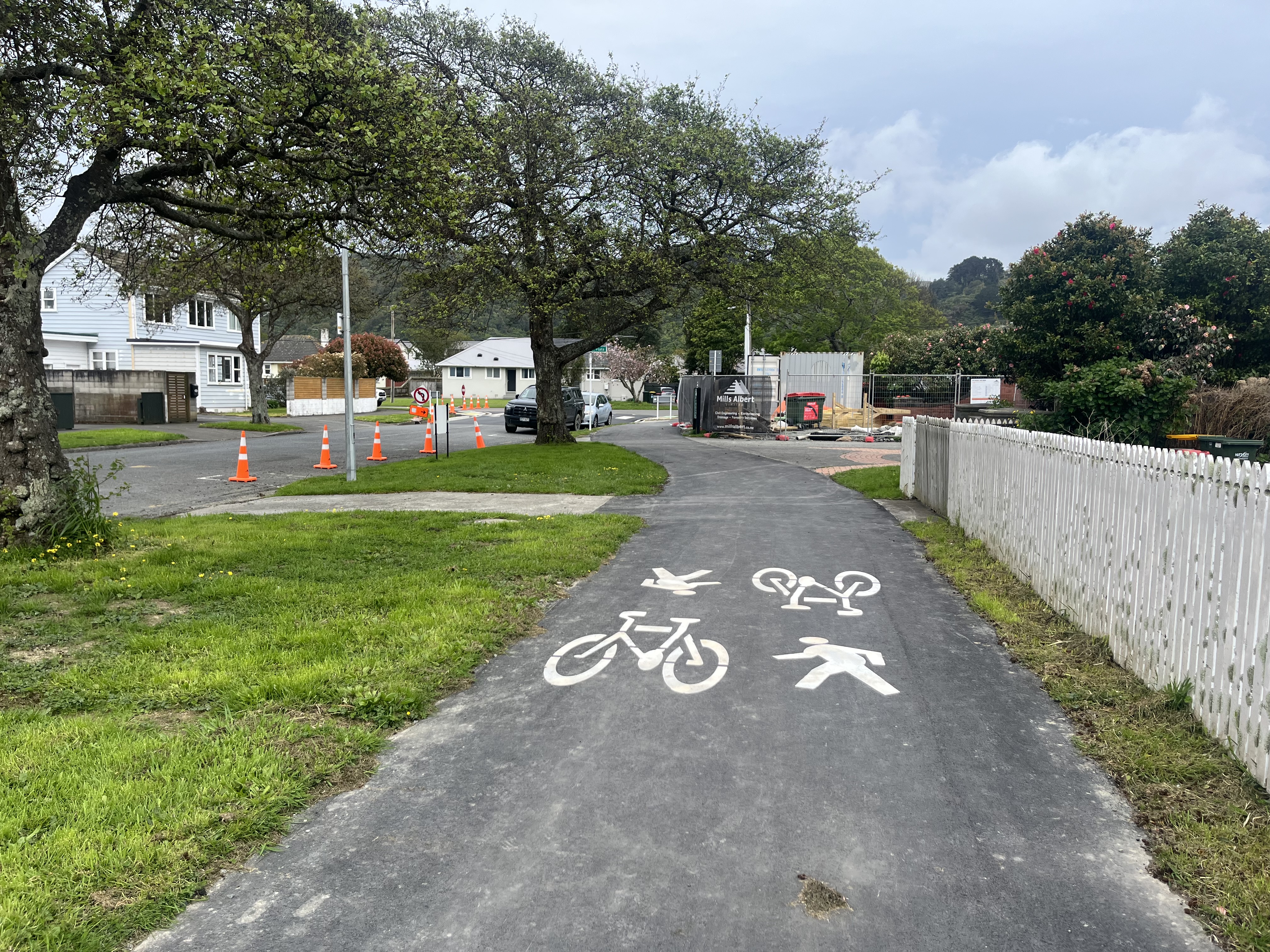
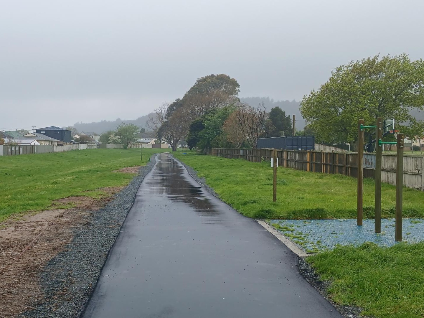
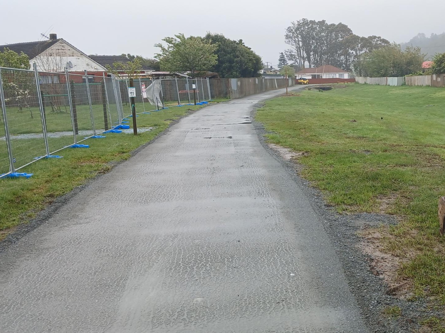
- A safe, separated shared walking and cycling path from the northern end of Harcourt Werry Drive at Fraser Park, right through to the Taitā Train Station and shopping centre.
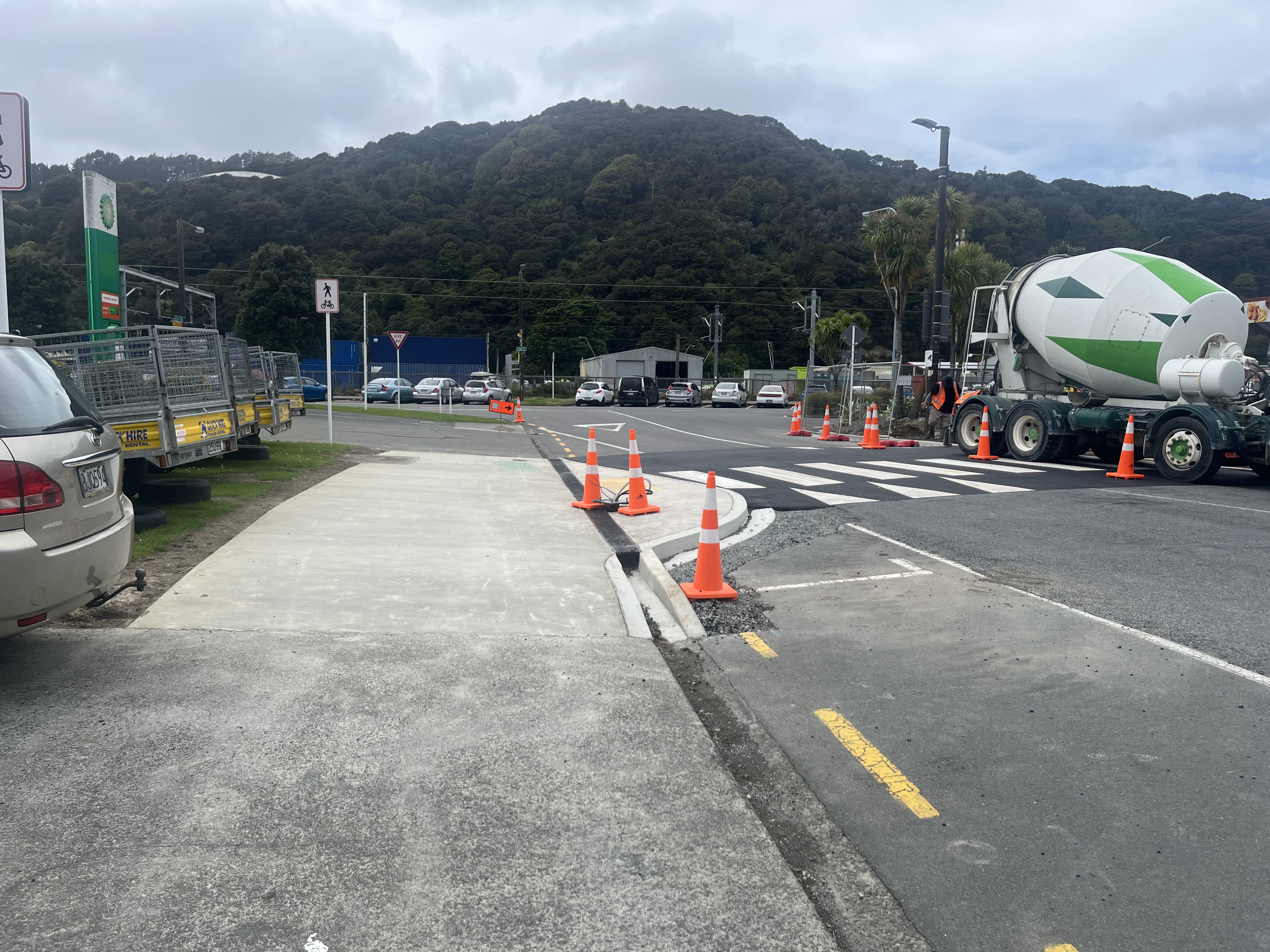
- Safety improvements at key intersections along the shared path route.
- Dual crossings along the shared path route, creating safe crossing points for pedestrians and cyclists.
- Pedestrian crossings to safely connect the laneways in the area.
- Pedestrian crossings along Partridge Street for tamariki at Pomare Primary School.
The new path will create better connections to:
- The recently constructed Beltway Cycleway that links from the northern tip of Taita through to Waterloo Station on the periphery of the CBD.
- Taitā Train Station, which links north to Upper Hutt and Wairarapa and south to Wellington city.
- Taitā’s shopping centre to help revitalise local retailers and businesses.
- Remutaka Cycle Trail (Hutt River Trail), providing a north / south corridor that’s perfect for people of all ages to build confidence on two wheels.
- Walter Nash Centre, Netball Hutt Valley courts and the nearby Walter Nash Park.
- Local schools and kindergartens, such as St Michael’s School, Taitā Central School, and Pomare School.


Why Taitā?
Taitā is a fast-growing neighbourhood that includes key recreational and community facilities for the wider region, including Walter Nash Centre, Walter Nash Park and Fraser Park
A mix of private and Kainga Ora higher-density developments being built in Taitā have fewer carparks, encouraging more families and people to take up active and public travel options and live car-free lives.
What we heard
In 2023, we consulted with the community on the proposed plans for a shared path and crossings in Taitā. Overall, there was support for improvements that would enhance safety and make it more appealing for tamariki and their whānau to move through the area. We've since revised the designs, reflecting community input where possible.
Concerns were raised about removing parking spaces as well as issues with traffic congestion around the Walter Nash Centre, which can often be busy with events and sports. Designs have been revised to minimise the loss of parking spaces, particularly outside the Walter Nash Centre along Taine Street and Tocker Street. We’ll also be working with the Walter Nash Centre and sports’ groups throughout the project to ensure any disruptions are communicated in advance.
We also received lots of feedback about the connection to the Hutt River Trail and a safer crossing point along Harcourt Werry Drive. We're currently looking into how best to connect the Fraser Park stop bank with the Hutt River Trail and Remutaka Cycle Trail. This includes exploring a dual crossing across Harcourt Werry Drive to improve safety and access for everyone.
Lighting around the crossings also came up in feedback. We will be installing lighting on all new crossings to improve visibility and safety for everyone using the paths. Each crossing has been individually assessed to determine whether flashing beacons or reflective discs are the most appropriate treatment — based on traffic volumes and how the crossing will be used. Light poles and fixtures have also been carefully chosen to ensure ample illumination for both the crossings and the paths leading to them, while minimising light spill into neighbouring properties. The chosen lights are designed to focus light where it’s needed most and include options to adjust brightness levels and apply external shielding if required.
Accessibility of the laneways also came up. We’re currently looking at how the entrances to laneways in the project area could be updated to better accommodate buggies, bicycles and mobility scooters.
Key changes in the revised design for Taitā:
- On-street parking on Taine Street (outside the Walter Nash Centre) has been maintained.
- The location and type of crossings throughout the design for Taitā have been adjusted. These changes consider features currently in place, improving the visibility for both pedestrians and vehicles and ensuring they align with where people will naturally walk, as well as reducing costs for the project. With the project now being completed from within Council budgets, the type of crossing has also been considered to ensure the best use of the budget.
We also received some feedback from Hutt River Trail users who were keen to see the trail improved so it could be better used by horse-riders. We have noted this feedback, however, the Hutt River Trail is out of scope for this project and work in that space sits with Greater Wellington.
Documents
Got questions?
You can get in contact us by emailing communityconnections@huttcity.govt.nz.