Wainuiomata is busy with traffic, and getting around by feet or small wheels is difficult to do safely. Maru | Streets for People is making improvements in the area with involvement from the community.
Maru in Te Reo Māori is a term expressing protection. The Maru | Streets for People project aims to make it feel safer, more inviting and accessible for residents of all ages to walk, skate, scooter or bike through the area and to spend time in public spaces. Fewer car trips reduces congestion and the cost of travel, helps our tamariki and kaumatua be independent and improves the health of our people and our planet.
Hutt City Council won a share of the $30m Streets for People programme fund from Waka Kotahi NZ Transport Agency. The programme will fund 90 per cent of the projected $1m cost of community consultation and designing, trialling and implementing a semi-permanent design.
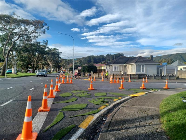
Meetings with local groups, schools and community leaders began in late 2022 and continued into early 2023. Trial layouts were designed to address problems of safety and accessibility identified by the community and these new road layouts were trialled using temporary materials in the laneways and streets during April/May 2023. During trials the community was able to provide feedback in real-time allowing layouts to be quickly adapted if needed.
This project is a great example of what we want to achieve through our Integrated Transport Strategy. By making walking and biking a more appealing option around our people-friendly local centres, especially for our school students, we can tackle some of the challenges we face to improve environmental impact, community wellbeing, safety and limited travel choices.
Wainuiomata is well known for its abundance of flora and fauna, and this special character is described in the cultural narrative for the area written by Kura Moeahu (October 2021).
Caring for and nurturing this abundance for future generations is an important cultural value for mana whenua. Caring for visitors and for people in the area is another important cultural value. Maru | Streets for People, is aligned with these values as it seeks to provide safer active travel options that enhance the health of people and place, turning up the noise of children and turning down the noise and pollution from congested streets.
Let me take you back in time immemorial, well before man walked this island. Te Kāhui Mounga, the mountain clan, were hauled from the great depths of Te Moananui a Kiwa (the great ocean of Kiwa) to calm the fish of Māui. Through ritual incantations gifted by Ranginui, Te Kāhui Mounga calmed the great fish from the summit of the gods, Pukeatua.
Following the execution of the ritual incantations, Te Kāhui Mounga cast their eyes on their new surroundings. Facing the east, they acknowledged the great gifts of the harbour that were about to become visible to Ranginui, Tāwhirimātea, and Tamanuiterā once again.
Te Kahui Mounga, through their proverbial saying, “ko ngā taringa i kite” (it is my ears that see), observed the rich orchestra of sounds deep within the dense forest of Tāne, and the rippling water tributaries that flowed across the land. An untapped, fertile country, with an abundance of rich resources, “Te Whata kai o Maui”, (the elevated store house of Maui) - Wainuiomata.

What’s happening?
In October 2023 we sought feedback on an overall semi-permanent design following the on-road trial with temporary materials in May 2023.
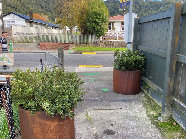
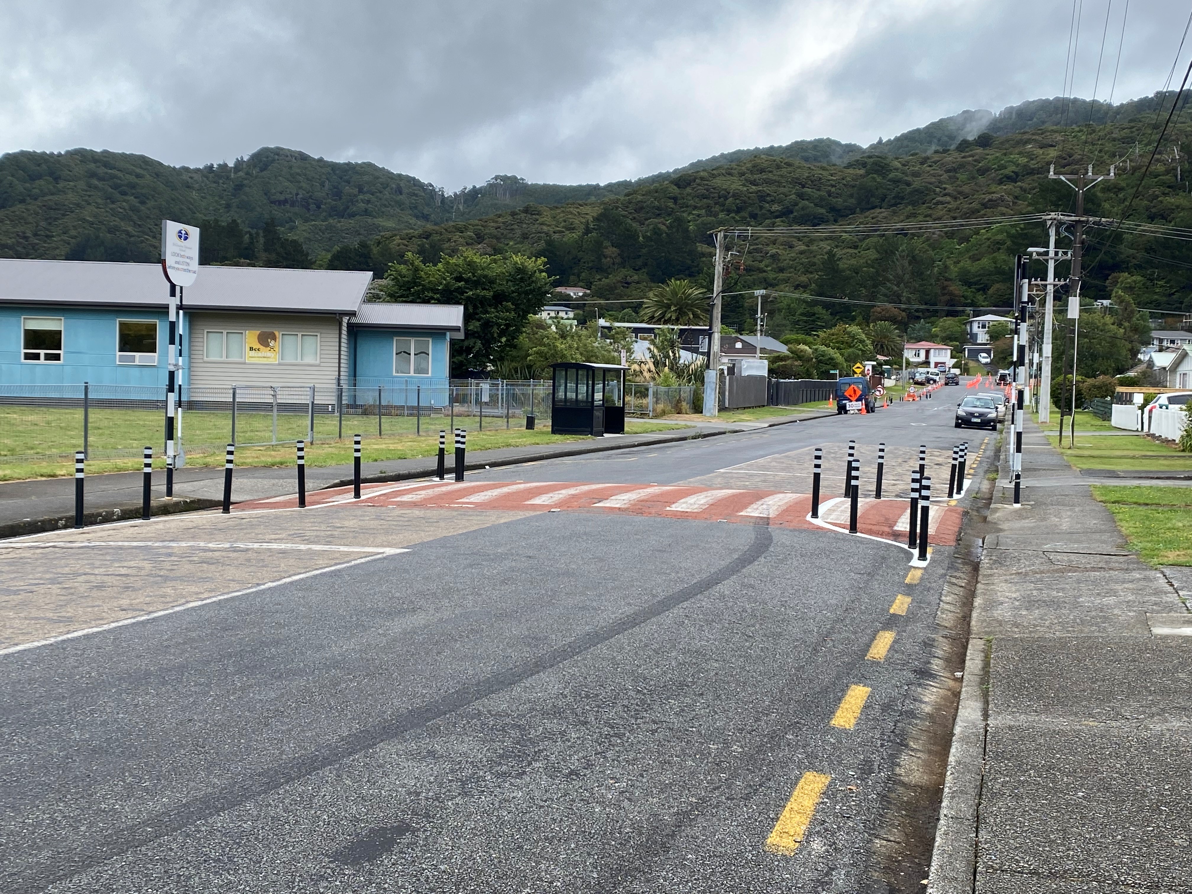
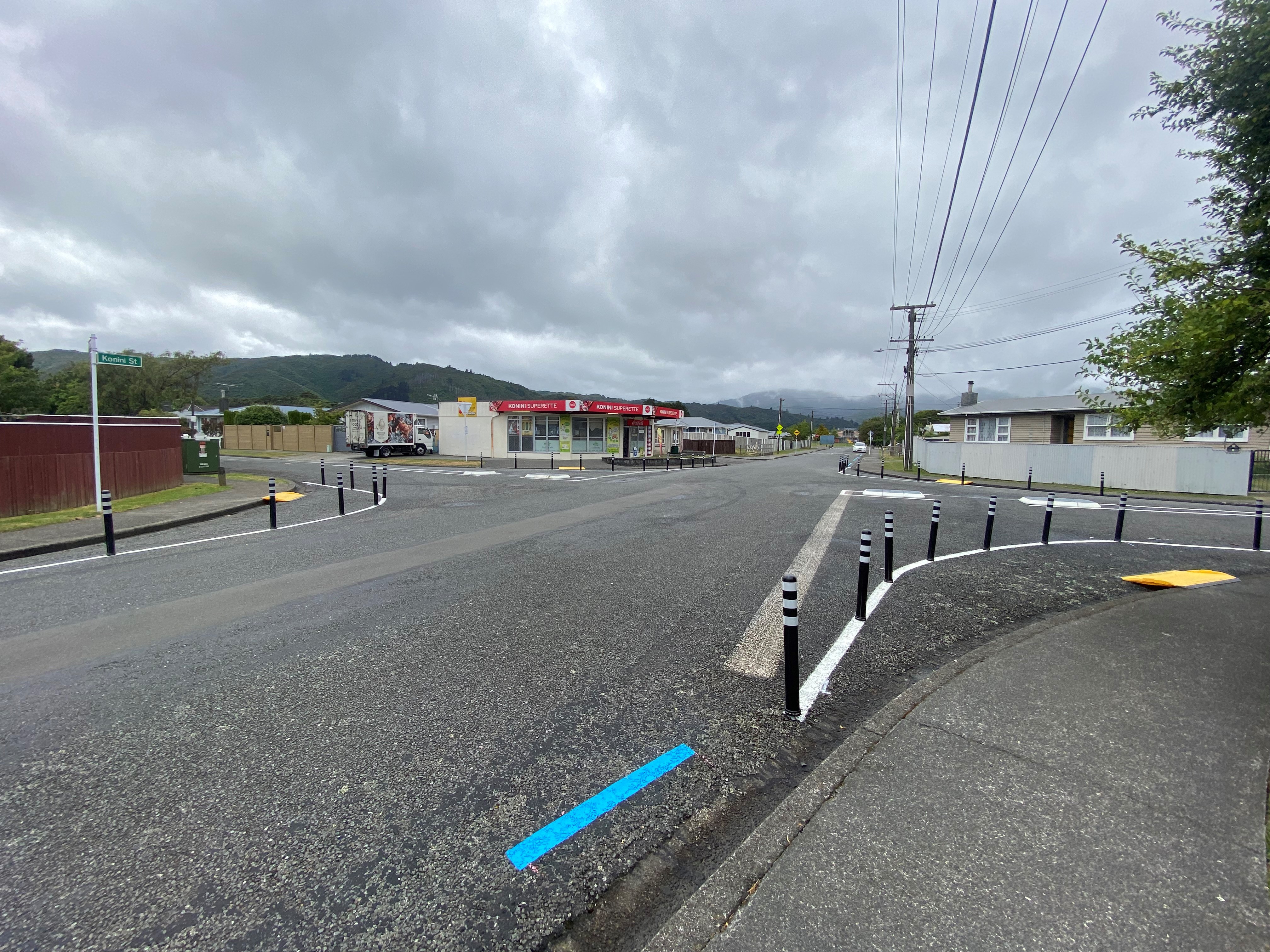
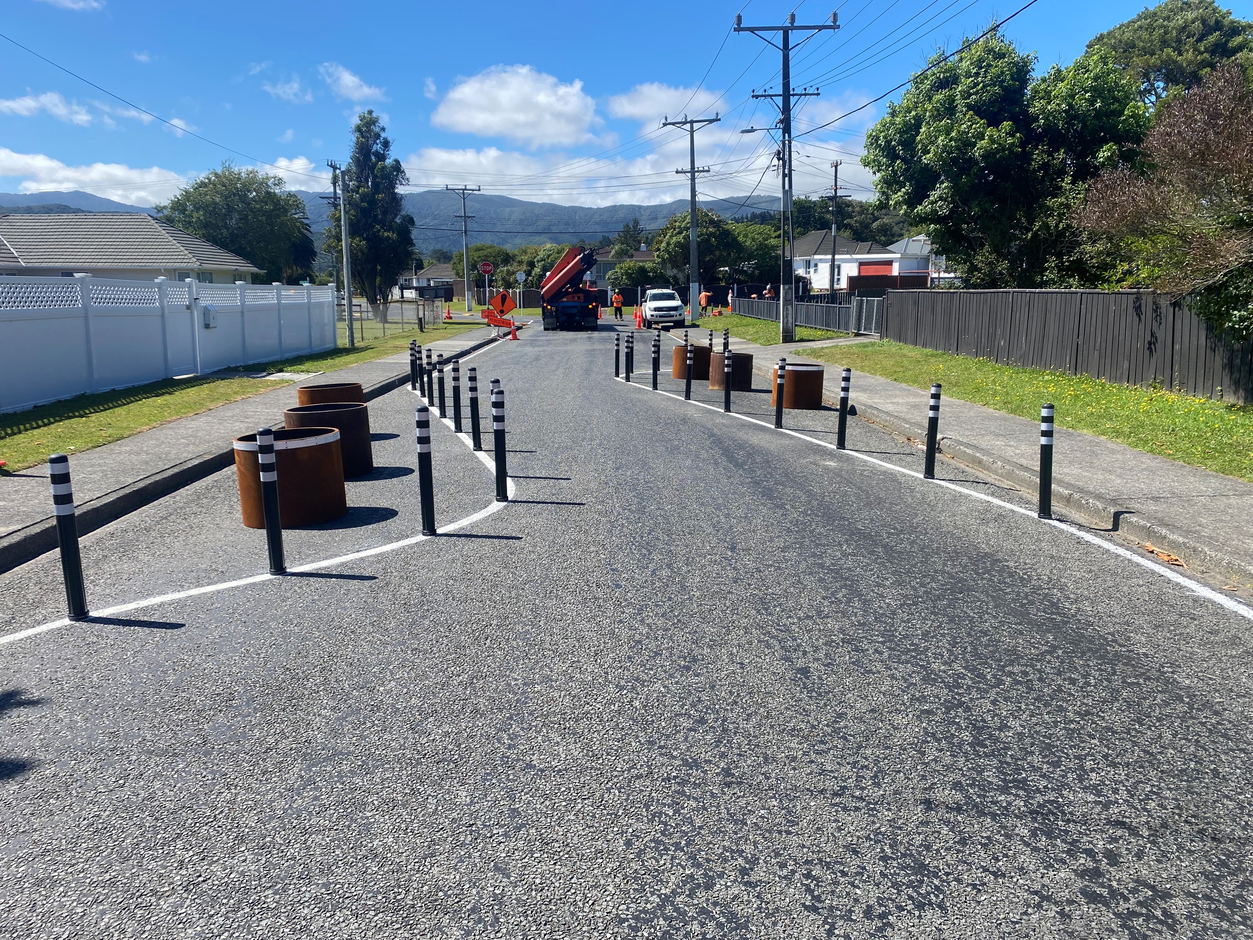
Based on community feedback we made some tweaks to the design and installation of the permanent designs began in January 2024.
The semi-permanent design will be in place for the next few years as we work towards a permanent design for the area. Elements of the semi-permanent design can still be changed as we continue to monitor the area.
Thank you to everyone who provided feedback on the semi-permanent design in March. View the Maru Streets for People Report.
Timeline
| Date | Activity |
|---|---|
| May 2023 | On road trial with temporary materials. |
| September/October 2023 | Semi-permanent design shared with community for feedback. |
| November 2023 | Council approved semi-permanent design. |
| January 2024 | Installation of semi-permanent design. |
| February-March 2024 | Check in with the community on how the semi-permanent design is performing, see if any tweaks are needed |
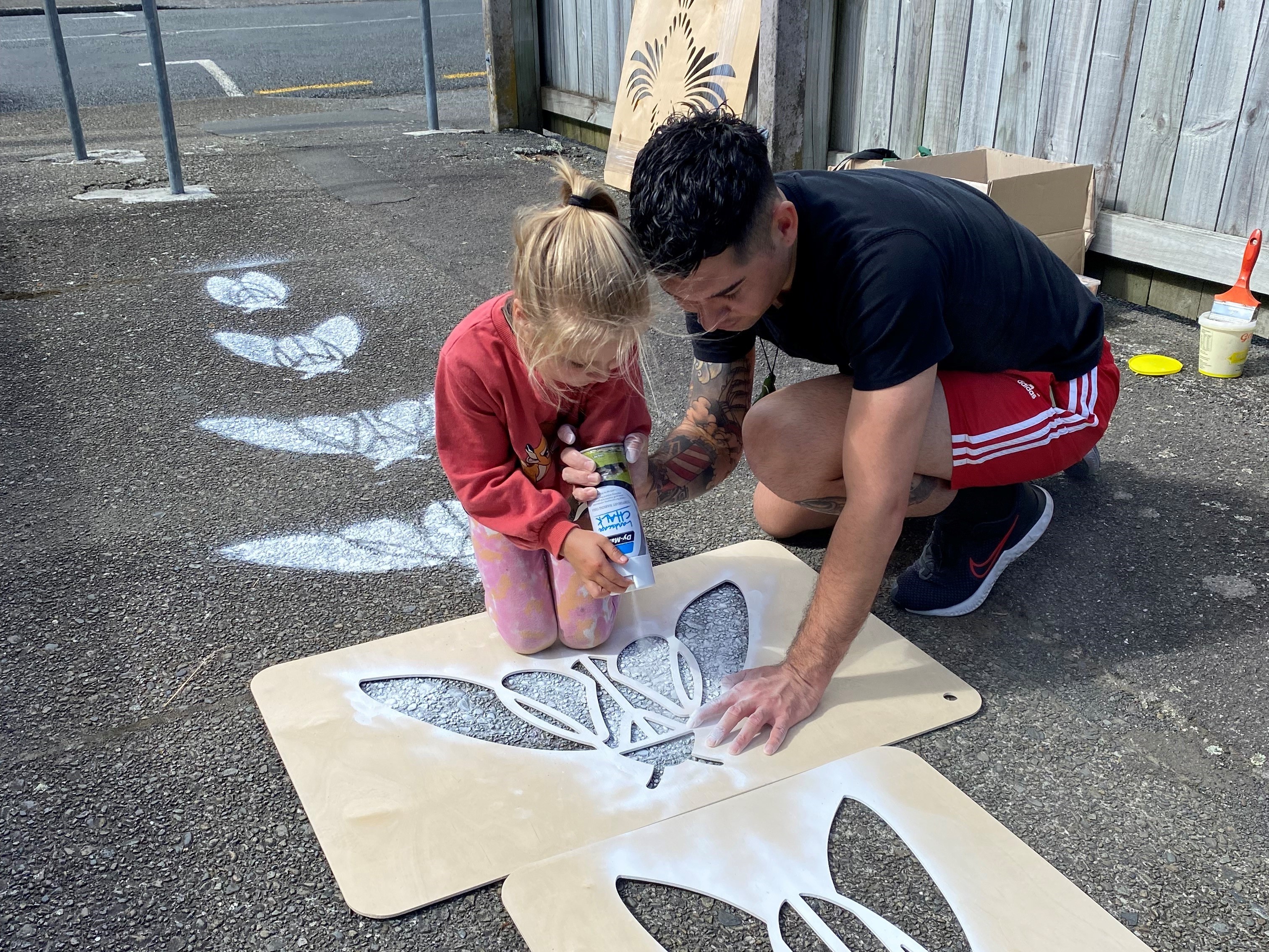
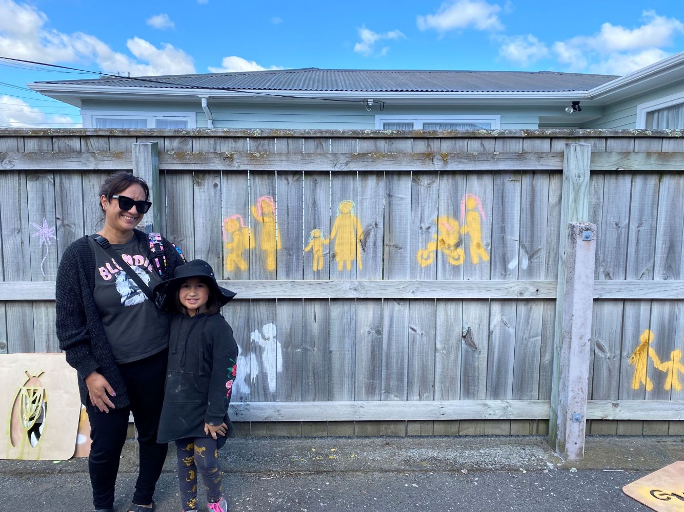
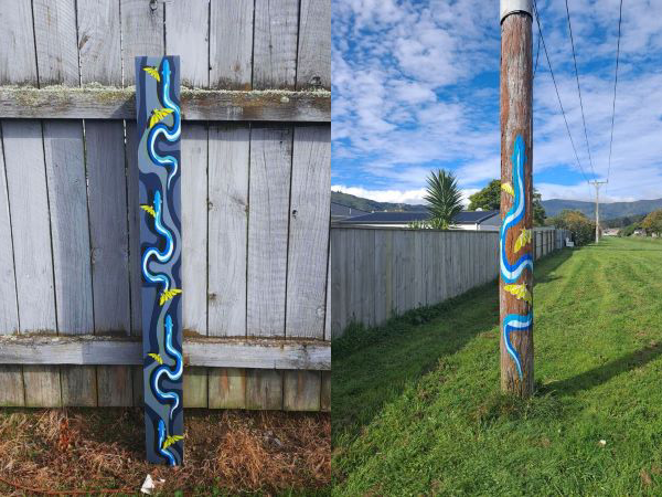
| March 2024 | Launch event with local schools and the community. |
Project Updates
Contact Us
- Phone 04 570 6666
- Email wainuistreets@huttcity.govt.nz
Click here to receive a newsletter with updates about this project and other local initiatives.
